Using "water
maps" with Geomorph 0.40
A "water map" is basically a copy of the main height field to
which a "water" texture is given in Povray and which is superimposed to
the main
terrain. Editing the main terrain
or the water map with chosen tools allows to "flood" or "emerge"
some areas.
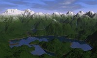
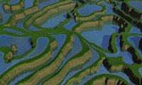
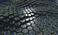
Geomorph 0.4 provides three new scene templates to make the use of
"water
maps"
easier. A short "How-to" is proposed here for each scene. Moreover, two
of these pages can be considered as tutorials for the "Lift edges" tool
 .
.
Click on the pictures to learn more.
Written in January 2007
 Back to the
documentation index
Contact:
Patrice St-Gelais


 .
.


 Back to the
documentation index